Chartist Cave and a night on Mynydd Llangynidr
Pikes the Chartists are said to have hidden, a stone picnic table from the hunt, and a night in the cloud.
The day
Elevation
Distance and ascent are computed from the published GPX track (ascent from its terrain-model elevations, at a 3 m smoothing threshold), not rounded from guidebooks. The track is the route as I walked it, redrawn in gpx.studio afterwards rather than recorded, so it has no timestamps and the line is as good as my redrawing. The plan view and the profile are drawn from that same track: they show the shape of the two days, not a navigable map.
The route in 50 seconds
The flyover follows the line as walked, including the detour round the fenced quarry.
The story
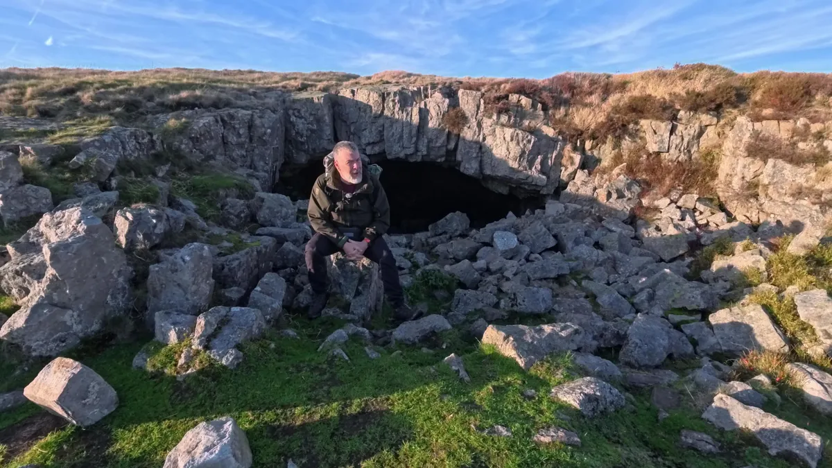
The cave's proper name is Ogof Fawr, the big cave. Most people call it the Chartist Cave, and the reason is 1839. I promised in the film to put more of the story here, so this is it.
The Chartists wanted the vote for working men, not only for men with property. Their People's Charter of 1838 asked for votes for all men and a secret ballot, among other things, and Parliament turned it down. Late on 3 November 1839 thousands of men set out from the valleys to march on Newport, a big contingent of them from Tredegar, just over the hill from here. At the Westgate Hotel soldiers fired on them, and at least 22 Chartists were killed. (I say "about 20" in the film; the sourced figure is at least 22.) The leaders, John Frost, Zephaniah Williams and William Jones, were sentenced to be hanged, drawn and quartered, and transported to Tasmania for life instead.
The tradition is that the men from Tredegar made pikes and other weapons up here through the summer and hid them in this cave. The plaque on the rock, put up by Tredegar Town Council in 1989 for the 150th anniversary, says pikes and possibly other weapons were made and stockpiled in these caves. The national heritage record repeats it. I went looking for something from the time and couldn't find it. The earliest account I found is a geologist writing in the 1850s, who says blacksmiths made pikes in 1839 in a small cavern east of the Trefil quarry, without naming which one. So it may well be this cave, the one with the plaque, but treat it as the story it is rather than a recorded fact.
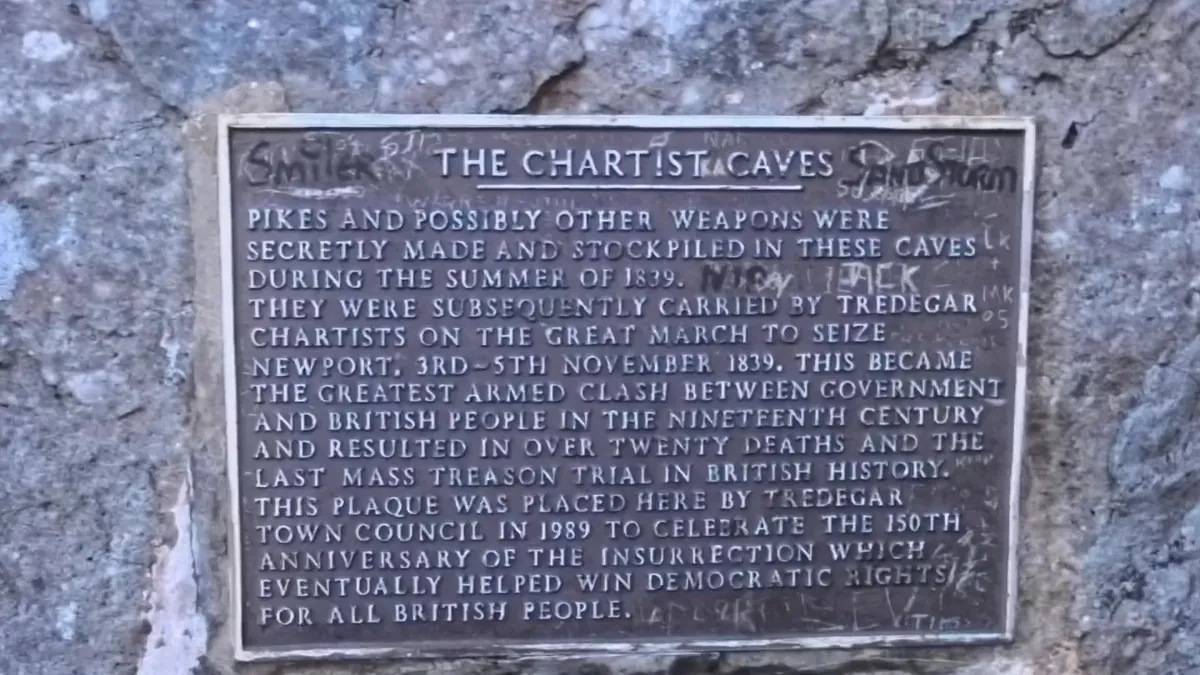
The vote did come, slowly. More working men got it in 1867 and 1884; in 1918 almost all men over 21 and some women over 30 could vote; and in 1928 women got it on the same terms as men. The "ten-year gap" I mention on camera is that last step, and it took decades of campaigning by suffragists as well as suffragettes.
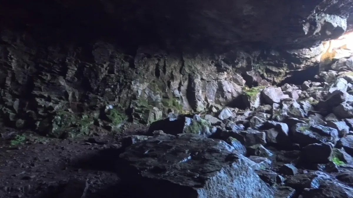
The walking
The day starts at Dolygaer, above Merthyr, and climbs north-east by the old byway and forestry tracks onto the open hill. The route I planned at home went through a quarry below Cefn yr Ystrad. On the ground it is fenced off with "Danger, Don't Go In" signs, so I went round it, and the GPX on this page goes round it too.
The fog was down when I got to the trig on Cefn yr Ystrad, the high point of the walk at 617 m, and then it lifted, and there was Pen y Fan across the valley.
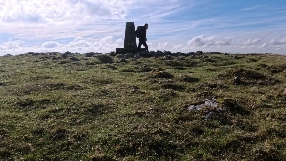
From there the route drops to the Naughty Stone, a big block at the Trefil viewpoint with memorial plaques on it and one of the best views of the day. I could not find out why it is called the Naughty Stone. If you know, tell me.
Then a stretch along the Trefil road, and a short way off it the Duke's Table: a stone table inside a ring of stone seating, with a spring beside it. The story is that it was built for picnics on the hunt, and that the spring was used to keep the wine cold. The heritage record calls it post-medieval and doesn't name a duke. It is also where I filled up with water for the night.
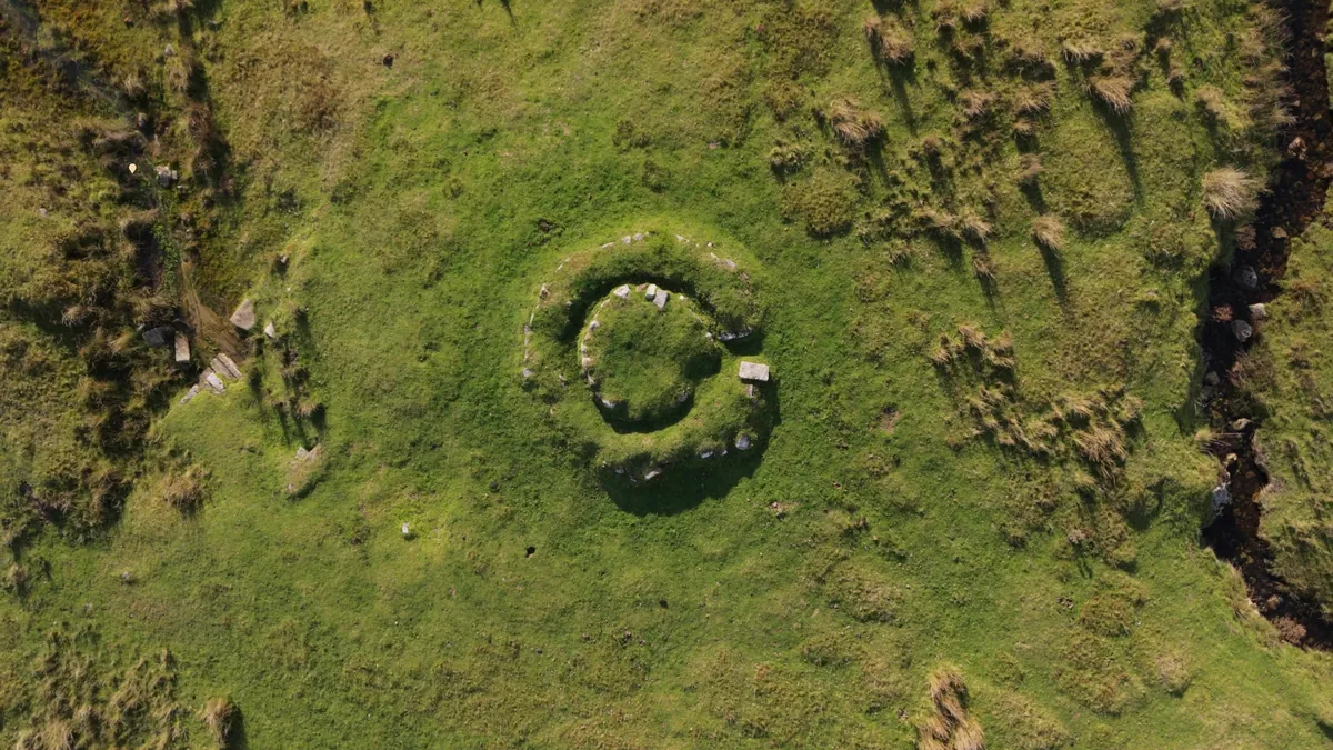
From the table it is across the moor to the cave. Mynydd Llangynidr is limestone under a lid of gritstone. Where the limestone dissolves underneath, the lid sags and drops in, which is why the moor is pocked with shakeholes, and why the streams vanish into it and come out again lower down.
The camp
I pitched on the moor for the night with the sun going down gold over the grass, and woke up inside a cloud. The camera battery ran out before supper, so there is no camp meal in this one and no recipe to go with it.
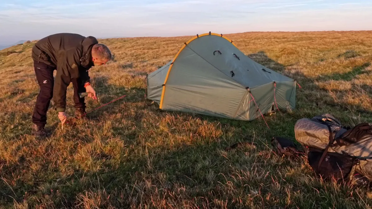
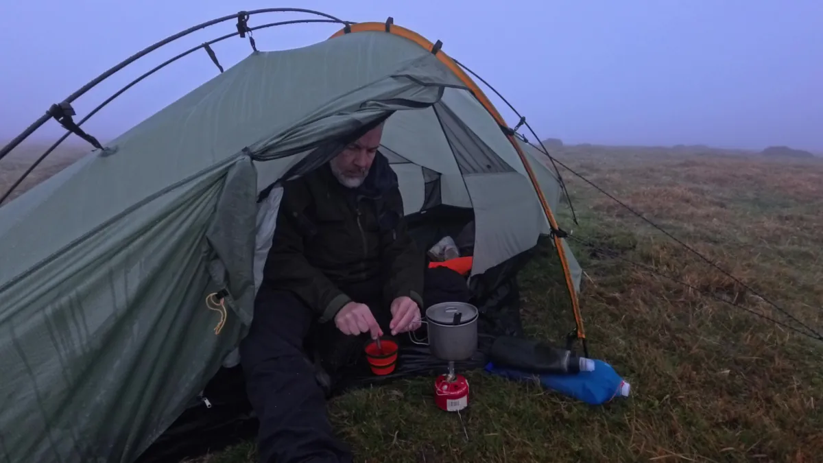
I am not going to point to where I pitched, on this or any other page. Find your own spot, pitch late, keep it small, be gone early and leave nothing. The leave-no-trace guide has the rest.
Back down by Ogof Pyrgad
Day two went north over Garn Fach in the mist. There is a cairn on the point there. I call it Bronze Age in the film, but I haven't found a heritage record for this one, so take that as unverified. The Bronze Age cairns I compare it with are in the Black Mountain film, and they are a lot more impressive.
Then down off the moor to a waterfall, and a steep, slippery climb up beside it to Ogof Pyrgad. This is where the water that sank into the moor comes back out: it pours out of the rock and feeds the fall below. There is a small cave behind it. The ground around it is wet, steep and slippery, and I didn't go any closer.
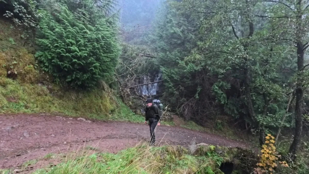
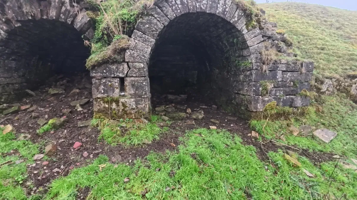
Further down are two stone arches built into the bank. I took them for old limekilns, because they look like others along this limestone edge, but I haven't found a record for these two, so treat that as my reading rather than a confirmed identification. After that it is the byway back down to Dolygaer, the same way I came up the day before.
Practical notes
The walk starts and finishes at Dolygaer, by the Parkwood Outdoors campsite at the south end of Pentwyn Reservoir (SO 0608 1446). If you want to leave a car there overnight, ask the site first.
The quarry below Cefn yr Ystrad is fenced off: follow the GPX round it, not an older map line through it. The section over Garn Fach is pathless, across ground full of shakeholes, and in cloud the moor is featureless. In poor visibility keep to the tracks and the Trefil road, and treat the high ground as map-and-compass ground.
The caves are for looking at, not going into. The climb to Ogof Pyrgad is steep and slippery when wet.
The spring by the Duke's Table is the one water source I used on the high ground. Its flow will vary, so carry a reserve, and treat what you take.
Wild camping is not a legal right in Wales. Where a night like this sits with the law, and how the quiet convention works, is in the law guide.
Sources. The cave, its arch and the 1989 plaque: Coflein, Chartist Cave (243133), the national heritage record, which repeats the tradition about the pikes rather than citing anything from 1839. The 1850s account: G. P. Bevan in The Geologist (February 1858), as quoted by the Cambrian Cave Registry (778); it describes a small cavern east of the Trefil quarry and does not name this one. The Duke's Table: Coflein (419806). The Newport death toll: UK Parliament, the 1838 People's Charter. I found no heritage record for the Garn Fach cairn or the arches below Ogof Pyrgad.
Filmed for the Jim's Wild Trails channel. If you walk it, tell me what I missed, especially about the Naughty Stone, the Duke's Table or the cave. Corrections welcome: social@jimswildtrails.online.
Also on this site: Llanthony Priory and the border ridge above the Vale of Ewyas, Bronze Age cairns and wild camp on the Black Mountain west and the Wellington MF509 bomber wreck on Carreg Goch. Planning your own night out? Start with how I stay safe on an overnighter, the kit I carried, and the rest of the guides.