Nobody goes right: Bronze Age cairns on the Black Mountain
The day
Elevation
Distance and ascent are computed from the published GPX track (ascent from its terrain-model elevations, at a 3 m smoothing threshold). The plan view and the profile are drawn from that same track: they show the shape of the day, not a navigable map. The western half is pathless and on limestone; the difficulty reflects the navigation, not the terrain underfoot.
The route in 45 seconds
The story
Everybody who parks at Llyn y Fan Fach goes left. Left takes you along the escarpment to Picws Du and Fan Brycheiniog: big views, a well-worn path, four hours, home for tea. It is a brilliant walk. I have done it.
This route goes right. West off the escarpment, onto Carreg yr Ogof and Garreg Las, where there is no path and almost nobody goes. The ground changes under your feet: sandstone gives way to limestone, streams vanish, and the moor is pocked with shakeholes where the surface has collapsed into whatever is underneath. You can walk between two Bronze Age burial cairns, each fifteen metres across, that someone dragged into existence by hand four thousand years ago on the highest ground they could find.
Two days, one night, and once off the tourist route, I saw two people the entire time. Both of them were going the other way.
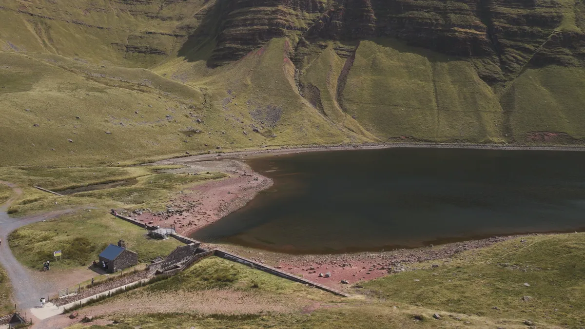
The wall at the end of the lake
The lake is natural. The ice carved this north-facing hollow and left it here. But the wall at the far end is not: somebody built it for a town twenty-three miles away that you cannot see from where you are standing.
Llanelli. The tinplate industry had made that town rich and filthy at the same time. It grew faster than its own drains, and what came out of the taps was not fit to drink. So they went looking for somewhere clean and high and empty, and they picked this. Act of Parliament, 1912. Work started in 1914, with about a hundred and seventy-five Irish navvies living in two wooden huts roughly where the car park is now.
And then the war started taking them.
By 1916 they could not keep anyone up here. So the council asked the War Office for prisoners of war. They were told no. Instead they got conscientious objectors: men who had been called up and refused, would not sign the papers, would not put the uniform on. Most of them had gone to prison for it. There was a Home Office scheme that let them out of prison on condition they did hard labour instead. Llanddeusant was one of only four such camps in the whole of Wales.
About two hundred of them came through over the years, mostly from Manchester and Birmingham and the Midlands, out of Cardiff and Llanelli prisons and up here. Living in the huts the Irishmen had left. And when the war ended, they were not let go. They were kept on so the soldiers coming home got first pick of the work.
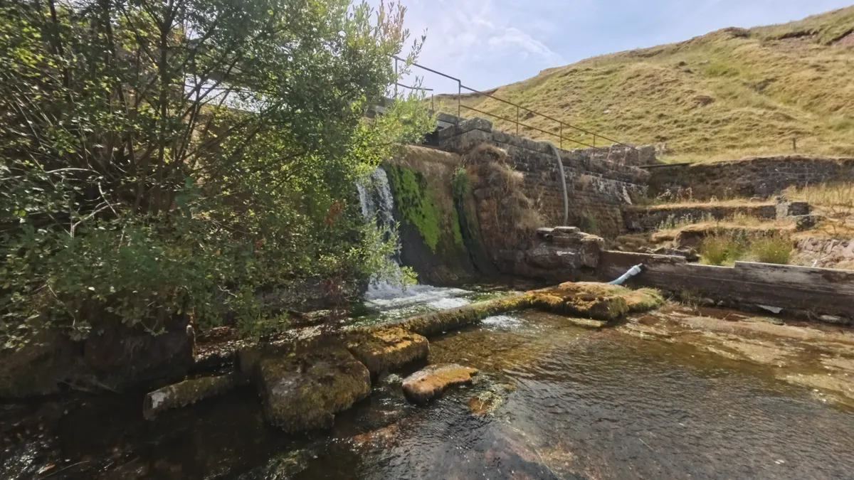
The dam is a Grade II listed building now. Cadw listed it specifically for that association. There is a date carved into the keystone of the outlet tunnel: 1920.
Where the water goes
Once you leave the escarpment and head west, the geology changes and you can see it. The Old Red Sandstone gives way to Carboniferous limestone, and limestone leaks. The streams disappear. The rain does not run off; it goes down, into a karst landscape of shakeholes and collapsed hollows where the surface has slumped into what is underneath.
Carreg yr Ogof, the next summit along, means "rock of the cave". And there is one: a thirty-seven-metre hole on the north side, under an old limekiln, with two chambers, a squeeze, and a green pool at the far end that divers have already been down to find it does not go anywhere. A whole mountain, named after that.
But the wider system goes a long way. Water tracing on the Black Mountain has shown underground journeys of several kilometres from sink to resurgence, the streams finding their way through the limestone before surfacing miles from where they disappeared. The caves on Carreg yr Ogof are part of that network, connected to resurgences over five kilometres away.
This is also why you carry water. Everything on the limestone side is dry; the last reliable source is below the dam. Extra litres on your back is the price of camping up here, and it is not enjoyable on the climb.
Four thousand years old
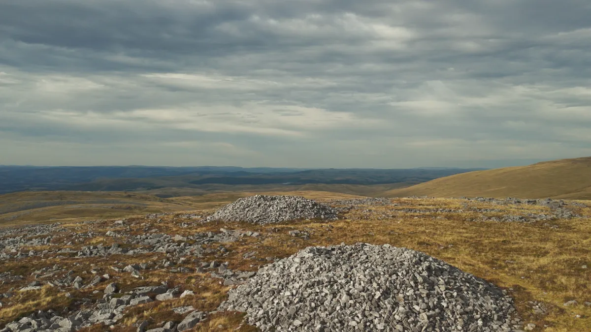
The top is crowned by Carnau'r Garreg Las: two enormous Bronze Age burial cairns, each about fifteen metres across, the northern one up to two metres high and the southern nearly two and a half with a robbed hollow in the centre. They are scheduled ancient monuments, dated by analogy to roughly 2000 BC. Neither has been excavated.
But the cairn on Fan Foel, the spur at the far end of the escarpment behind you, has. Dyfed Archaeological Trust dug into it in 2004. Inside they found a stone cist about a metre long, and in it the cremated remains of an adult, a child, and an infant. They also found pollen: meadowsweet, unburnt, both bud and full bloom. It had not gone on the fire with them. It might have been flowers, laid in afterwards. It might have been a drink, sweetened and flavoured, placed in the pot for them. The archaeologists and the literature still argue about which.
Either way, somebody stood up here four thousand years ago and brought something for the dead. That is not just a burial. That is a funeral.
The walking
The route starts from Llanddeusant, at the north-west corner of the Black Mountain (that is the Black Mountain singular, Y Mynydd Du, not the Black Mountains plural near Hay). You walk south-east through lanes and fields to the Llyn y Fan Fach car park, then up past the lake and the dam to the escarpment via the zigzag path. From the top of the zigzags, the standard route turns left along the ridge. You turn right.
From here there is no path. You cross a col at about 540 m where the geology changes, then climb onto Carreg yr Ogof (585 m) and along to Garreg Las (635 m), the high point of the western half, where the cairns are. Navigation on this section is compass-and-pacing ground in poor visibility: the moor is broad, featureless, and pocked with shakeholes that are a genuine hazard in cloud.
Day two passes the cave on the north side of Carreg yr Ogof, then descends north into the Tywi valley and loops back to Llanddeusant. The morning light on this descent is the best of the trip: low sun from the east, the valley opening ahead, and nobody around because everybody else finished yesterday afternoon.
The camp
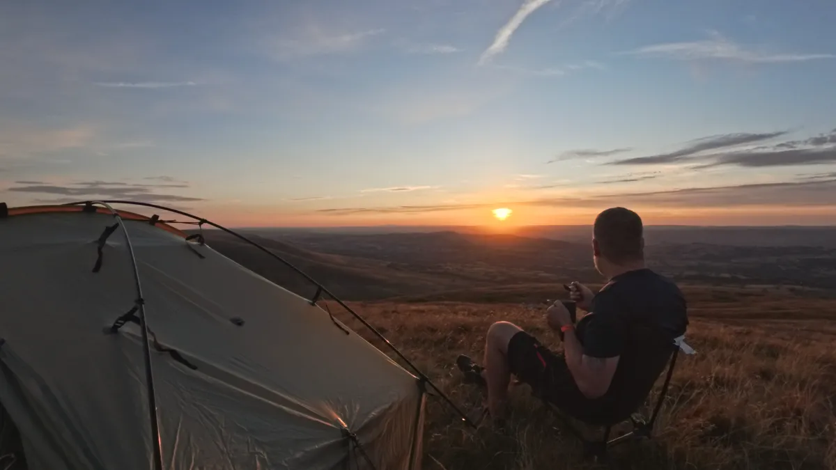
You camp high on the ridge, but not on the line of the route and not among the cairns: they are scheduled monuments, and a tent belongs well away from them, a few hundred metres off the walk on short, durable grass with nothing fragile underneath. Picking that spot is part of the trip. Wherever it turns out to be, the ridge gives you the same sky: the sun sets away to the west-north-west, and if it is clear the Milky Way runs south after dark, with the Perseids warming up when I was there in early August.
Dinner was penne with sun-dried tomatoes, roasted peppers, pesto and tuna, everything out of a jar or a tin and all of it cooked in one pot. The recipe is on its own page.
Wild camping is not a legal right in Wales. This is common land with grazing rights. The usual discipline applies: pitch late, pitch high, keep it small, and be gone by dawn. Leave nothing. Ten honest seconds about this on camera is better than pretending the question does not exist.
Practical notes
Water is the planning constraint. The last reliable source is below the dam at around 4.5 km. Everything west of the escarpment is limestone and runs dry. Carry enough water from the sandstone side and plan the camp around where you can carry water to, not where you will find it.
Navigation west of the escarpment is real map-and-compass work in poor visibility. The shakeholes all look the same in cloud and some are deep enough to be a problem. A GPS track helps, but do not rely on it alone.
Do not go into the cave on Carreg yr Ogof. It is a proper caving trip, not a scramble to peer into: not alone, and not at all without the right kit and someone who knows what they are doing. It is thirty-seven metres long, two chambers and a pool, and has already been fully explored, so there is nothing to be won by chancing it. For orientation on the walk it lies about 150 m north-north-east of the trig point, below a disused limekiln, but treat that as a landmark to pass, not an invitation to enter.
Bannau Brycheiniog is an International Dark Sky Reserve and you are camping in one of its emptiest corners. If the sky is clear, it is worth staying up for.
Filmed for the Jim's Wild Trails channel. If you walk it, tell me what I missed. Corrections welcome: social@jimswildtrails.online.
Also on this site: Wellington MF509 bomber wreck and wild camp and Llanthony Priory and the border ridge above the Vale of Ewyas. Planning your own night out? Start with how I stay safe on an overnighter, the kit I carried, and the rest of the guides.